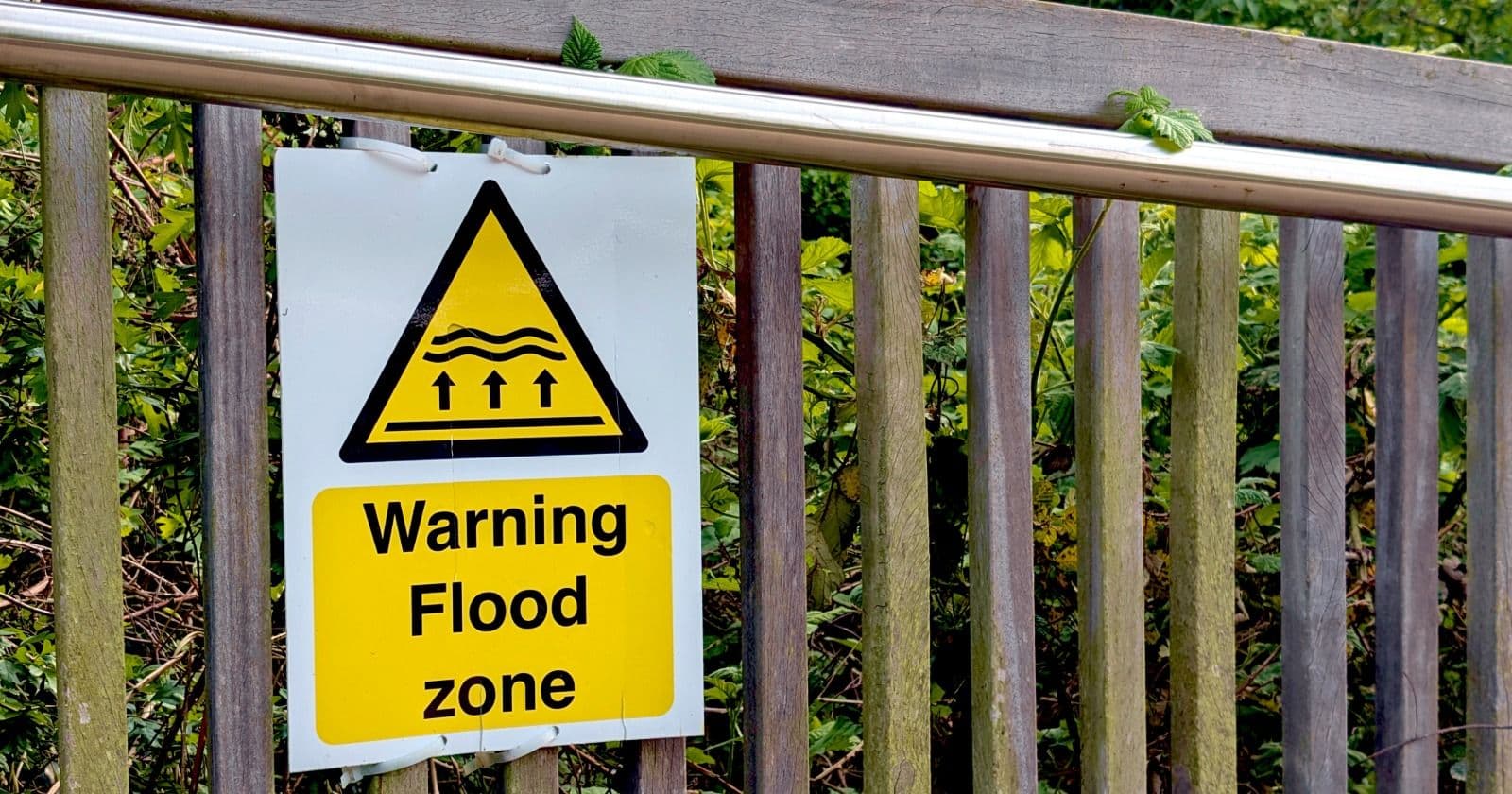
How to check whether your house is in a flood zone

See more PinScene stories in your Google results.
The federal flood map is free and takes two minutes. Most flooded homes were not in the high-risk zone.
Your address has a flood zone whether you've ever looked it up or not. FEMA maps flood risk nationwide, the lookup is free, and it takes about two minutes.
Go to the FEMA Flood Map Service Center, type in your address, and you'll get the flood insurance rate map for your area with your parcel on it. The zone letters are the part that matters.
Reading the letters
Zones starting with A or V are Special Flood Hazard Areas, the high-risk category. A zones are inland and riverine flooding. V zones are coastal areas exposed to wave action. If your property sits in one and you have a federally backed mortgage, your lender requires flood insurance.
Zones marked X are outside the high-risk area, sometimes labeled moderate or minimal risk. Zone D means the risk is undetermined because the area hasn't been studied.
The maps also show base flood elevation, the height floodwater is expected to reach in a one-percent-annual-chance flood. That figure, compared against your home's elevation, drives both your real risk and your insurance rate.
The map doesn't show everything
Flood maps are useful, but they do not show every way a property can flood. They are built mainly around rivers, coasts, and mapped watersheds. They are much less useful for the kind of flooding that happens when a storm dumps several inches of rain in a short time and the drainage system cannot keep up. That water can end up in homes well outside a high-risk flood zone.
Plenty of flood insurance claims come from properties outside those zones. Older maps can miss newer development too. A subdivision, shopping center, or road built upstream can change where water runs during a heavy storm.
So check the map, but do not stop there. Ask whether the street has flooded before, how recently it happened, and what has been built uphill in the last few years. Longtime neighbors can often tell you more about what happens during a bad storm than the map can, so it is worth asking in a neighborhood group before you buy.
If you decide to buy coverage
Standard homeowners insurance does not cover flood damage. Flood coverage is separate, through the National Flood Insurance Program or a private insurer.
The timing rule catches people: an NFIP policy generally takes effect 30 days after you buy it. That's specifically designed to stop people from buying coverage when a storm appears in the forecast. There are narrow exceptions, including policies required at a mortgage closing, which take effect at funding, and a shortened window when FEMA newly maps your property into a high-risk zone.
The practical version: the time to buy flood insurance is a calm month, not the week a hurricane is named.
If you think your zone is wrong, FEMA has a process for amending it, usually with an elevation certificate from a licensed surveyor. Homeowners do win those, and it can remove a lender's insurance requirement.
Sources
Frequently asked
How do I find my flood zone?
Search your address on the FEMA Flood Map Service Center at msc.fema.gov. It returns the flood insurance rate map for your area, showing your parcel, its zone letter, and the base flood elevation where one has been established.
What do flood zone letters mean?
Zones beginning with A or V are high-risk Special Flood Hazard Areas, with V covering coastal wave action. Zones marked X fall outside the high-risk area, and Zone D means the risk has not been studied.
Does homeowners insurance cover flooding?
No. Flood damage requires a separate policy through the National Flood Insurance Program or a private insurer. NFIP coverage generally takes effect 30 days after purchase, with limited exceptions such as policies required at closing.