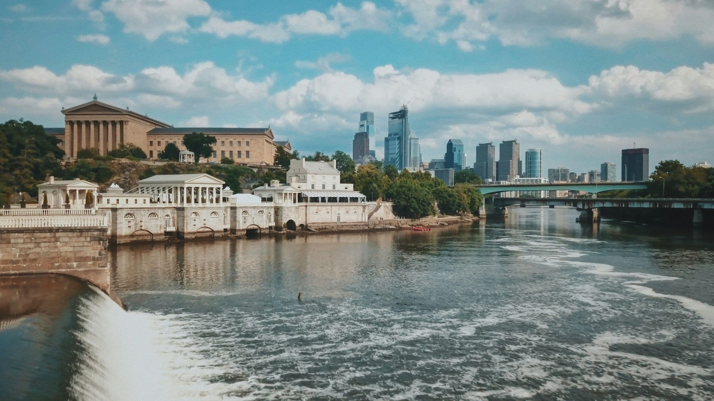
What part of Philly am I in? How to tell, and how the city's sections fit together

See more PinScene stories in your Google results.
Market Street splits north from south, the numbers climb as you head west, and Broad is really 14th Street.
Philadelphia is easy to get turned around in. It has about 1.57 million people, according to the Census Bureau's estimate for July 2025, spread over roughly 134 square miles, and a city boundary file with 159 named neighborhoods. Here's how to figure out where you are.
Start with the street grid. Streets running north to south are numbered starting at Front Street, the equivalent of First Street, on the Delaware River, and the numbers climb as you head west, according to Visit Philadelphia. Broad Street takes the place of what would be 14th Street. Since 1853, addresses have counted west from the Delaware and north or south from Market Street, the Free Library of Philadelphia says. Each block of numbers lines up with a cross street, so 220 Chestnut Street sits between Second and Third.
For an exact answer, type any address into the city's Atlas map. It pulls information from several city departments into one place, the city says. The voting tab shows your ward, City Council district, and polling place. The nearby tab shows crime incidents, 311 requests, zoning appeals, and likely vacant properties within 250 feet, and another tab lists nearby schools, rec centers, and police and fire stations. City Council has 10 district seats, and the police department works across 20 districts.
The city's planning commission divides Philadelphia into 18 planning districts, but most people use broader sections:
- Center City: Downtown, between the Delaware and Schuylkill rivers, from South Street up to Spring Garden Street in Visit Philadelphia's description. Some older guides use Vine Street as the northern edge. Greater Center City has 210,710 residents, one in eight Philadelphians, according to the Center City District.
- South Philly: South of South Street, between the two rivers. Queen Village, Bella Vista, East Passyunk, and Pennsport are east of Broad Street. Graduate Hospital, Point Breeze, Newbold, and Grays Ferry are west of it.
- West Philly: From the west bank of the Schuylkill and University City out to Cobbs Creek. University City is its easternmost section, directly across the river from Center City.
- Southwest Philly: From the Schuylkill to the Delaware County line, and from Baltimore Avenue to the airport.
- Northeast Philly: More than 30 neighborhoods. Frankford, Mayfair, Fox Chase, and Tacony are in the Lower Northeast, closer to Center City. Bustleton, Torresdale, and Pennypack are in the Far Northeast, near Bucks County.
- Northwest Philly: A collection of leafy residential neighborhoods, including Germantown, which sits between Hunting Park and Mount Airy and is one of the city's oldest settlements, and Manayunk, whose name comes from a Lenape word meaning "where we go to drink."
- North Philly and the River Wards: The city's planning map splits this area into Lower North, North, Upper North, and River Wards districts.
A few neighborhoods visitors ask about most: Old City is centered around Fifth and Arch streets and includes the Liberty Bell and Independence Hall. Chinatown, established in 1871, is centered around 10th and Arch. Rittenhouse runs from Market Street to South Street and from Broad Street to the Schuylkill. Northern Liberties, a former manufacturing hub, connects Old City to Fishtown, a onetime blue-collar, industrial waterfront neighborhood just northeast of Center City. East Passyunk has more than 150 independently owned restaurants and shops.
Philly is often called the City of Neighborhoods, though the origins of the nickname are unclear, WHYY reported. The city's Department of Records once compiled a list of nearly 200 neighborhood names.
To see what's happening around you right now, open PinScene's Philadelphia map.
Sources
- U.S. Census Bureau: QuickFacts, Philadelphia
- OpenDataPhilly: Philadelphia neighborhoods
- Visit Philadelphia: Getting around
- Free Library of Philadelphia: Street names and house numbering
- Encyclopedia of Greater Philadelphia: Street numbering
- City of Philadelphia: Atlas
- City of Philadelphia: Atlas, opening the door to the city's data
- Philadelphia City Council: About
- City of Philadelphia: Police Department
- Philadelphia City Planning Commission: Planners by district
- Center City District: State of Center City 2026
- Visit Philadelphia: Center City
- Visit Philadelphia: South Philadelphia
- Visit Philadelphia: West Philadelphia
- Visit Philadelphia: Southwest Philadelphia
- Visit Philadelphia: Northeast Philadelphia
- Visit Philadelphia: Northwest Philadelphia
- WHYY: Philadelphia, the City of Neighborhoods
Frequently asked
What part of Philly am I in?
Type your address into the city's Atlas map at atlas.phila.gov to see your ward, City Council district, and nearby services. In general, Market Street divides north from south, and numbered streets climb as you head west from Front Street on the Delaware River.
What street divides North and South Philadelphia?
Market Street. Since 1853, Philadelphia addresses have been counted north or south from Market Street and west from the Delaware River, according to the Free Library of Philadelphia.
Is Broad Street 14th Street in Philadelphia?
Yes. Broad Street takes the place of what would be 14th Street in Philadelphia's numbered grid, which starts at Front Street, the equivalent of First Street, along the Delaware River.